
|
|
|
|
|
Santa Barbara, County Highway 101
|
|
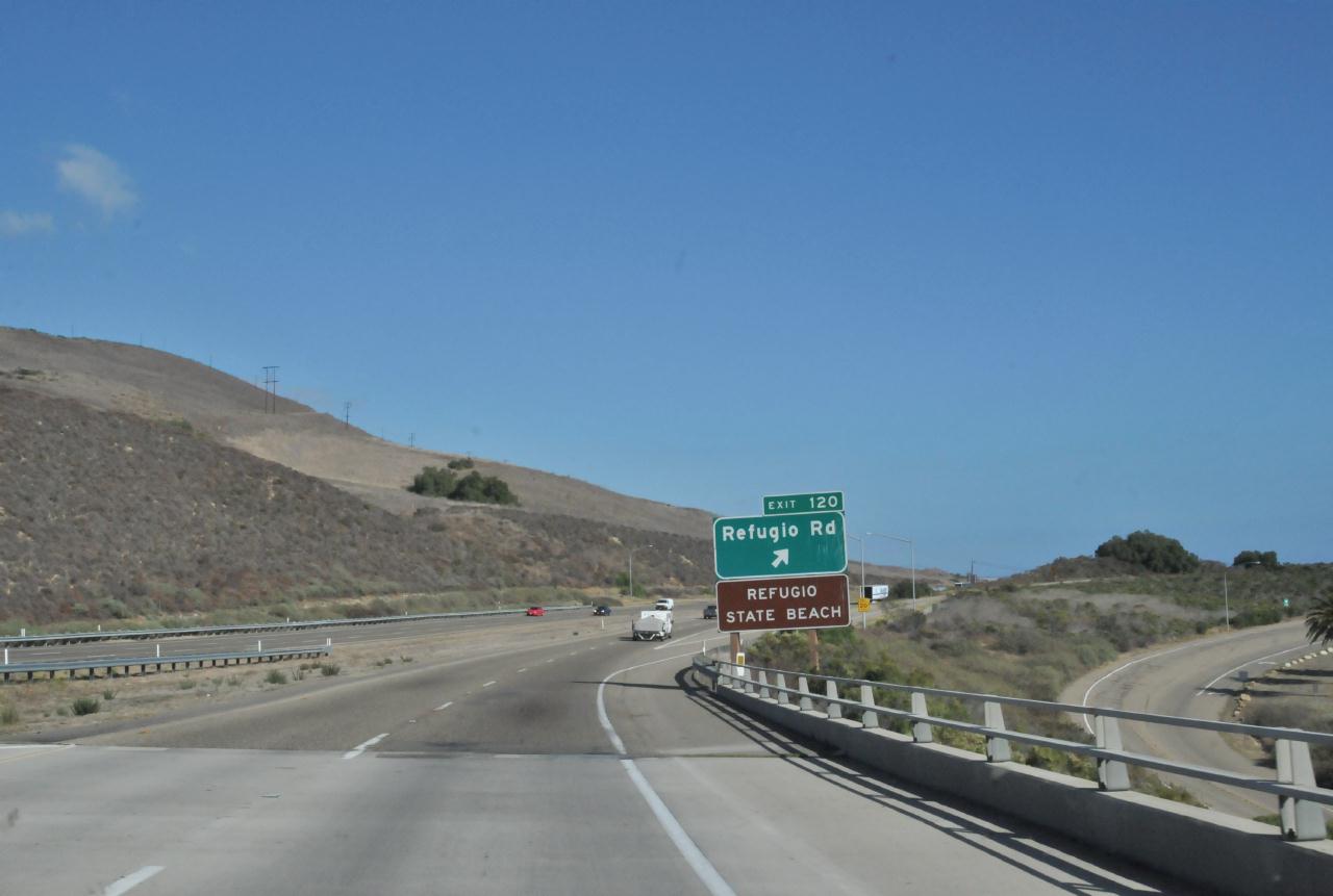 Twenty miles west of Santa Barbara, the Refugio Road Exit flowed into view. Also called Exit 120, this offramp lead to Refugio State Beach.
Santa Barbara County Highway 101 • Refugio State Beach 
Add a comment or report a mistake
|
|
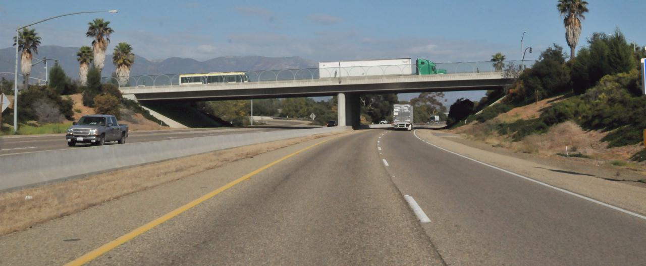 Seventeen miles west of Santa Barbara, a bus and a truck crossed an overpass.
Santa Barbara County Highway 101 • (Photo posted Tuesday 28 December 2010) • (Photo taken 15:44:24 Thursday 7 October 2010) • © 2010 Bryan Costales
Add a comment or report a mistake
|
|
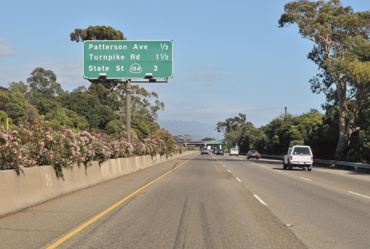 The center median of the freeway was planted with blooming oleanders. A large sign that towered over the road announced: Patterson Ave 1/2
Santa Barbara County Highway 101 • (Photo posted Tuesday 28 December 2010) • (Photo taken 15:46:45 Thursday 7 October 2010) • © 2010 Bryan Costales
Add a comment or report a mistake
|
|
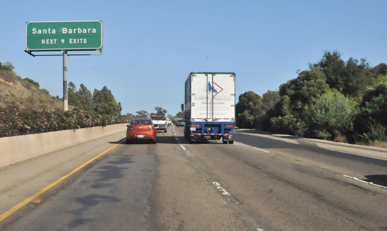 Traffic grew more dense and slowed as downtown Santa Barbara neared. The sign above the freeway median announced Santa Barbara
Santa Barbara County Highway 101 • (Photo posted Tuesday 28 December 2010) • (Photo taken 15:49:05 Thursday 7 October 2010) • © 2010 Bryan Costales
Add a comment or report a mistake
|
|
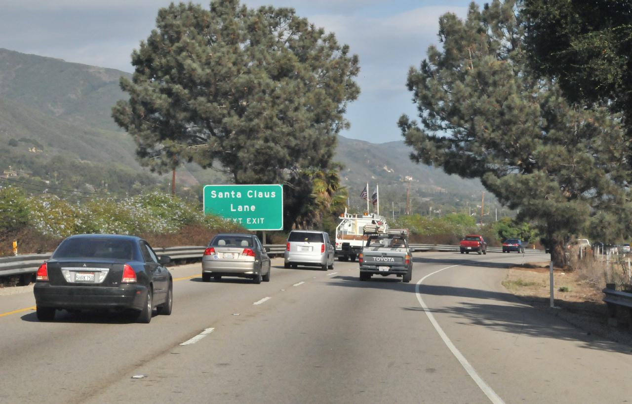 Nothing could speak Christmas more than passing Santa Claus Lane on a sunny California afternoon. The median sign read: Santa Claus Lane
Santa Barbara County Highway 101 • Carpinteria, California • (Photo posted Tuesday 28 December 2010) • (Photo taken 16:08:49 Thursday 7 October 2010) • © 2010 Bryan Costales
Add a comment or report a mistake
|
|
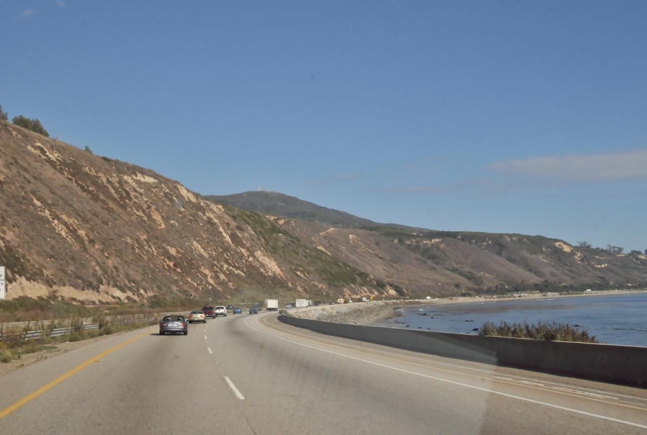 The freeway followed a long curve alongside the Pacific Ocean. Ahead lay Ventura, then Oxnard, and finally LA.
Santa Barbara County Highway 101 • Carpinteria, California • (Photo posted Tuesday 28 December 2010) • (Photo taken 16:15:10 Thursday 7 October 2010) • © 2010 Bryan Costales
Add a comment or report a mistake
|
 |
| home • contact • topic guide • top 25 • photos • video • writing • blogs • upload • terms • privacy |